
Hiking track - The summit of Miribel by Col de Creux
Medium
2h35min
8km
Loop
+452m
-452m


1 / 4
Description
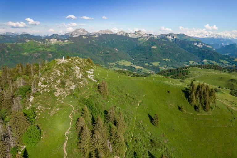
The hike allows you to appreciate the beauty of the landscapes of the Plaine Joux Plateau and the Giffre mountains, leading to the summit of Pointe de Miribel (1575 m), where the view of the Chablais and Mont Blanc is breathtaking !
Along the way, you will discover a succession of mountain pastures with beautiful panoramic views of the peaks of the Giffre mountains, such as Pointe de Chalune (2116 m), Haute-Pointe (1958 m) and Pointe de Haute-Bené (2215 m).
The ascent of Pointe de Miribel (1575 m) will allow you to discover the Way of the Cross dating from 1827 and enjoy a magnificent view of the peaks of Chablais, Mont Blanc, Les Brasses, Le Môle, and more.
Step-by-step directions are available by clicking on the printer icon.